A consultancy that owns its equipment keeps control of its lead times and costs. Ground, airborne and bathymetric data acquisition is carried out in-house, and so is the processing.
Our equipment
Four acquisition and processing chains.
Ground-based acquisition
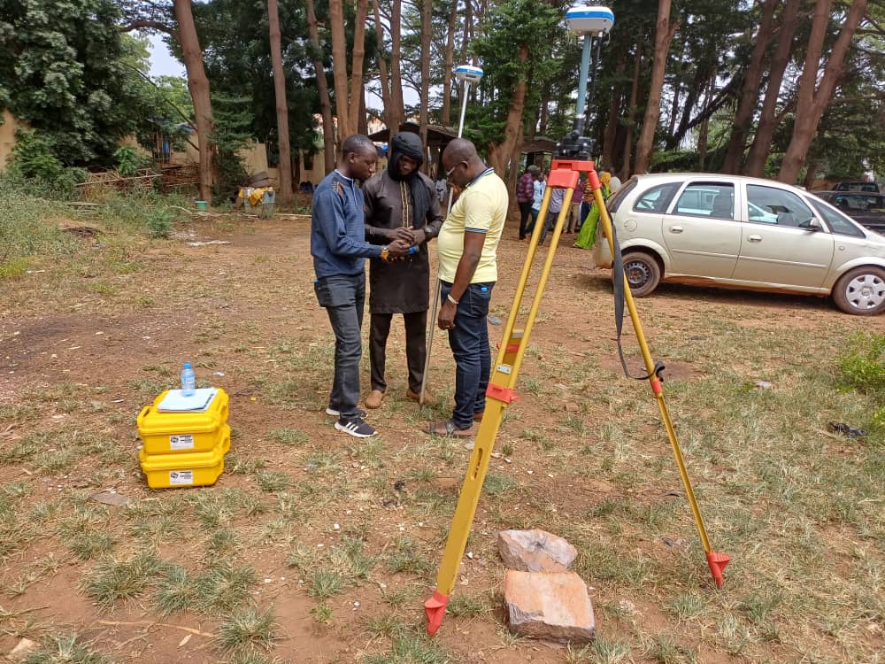
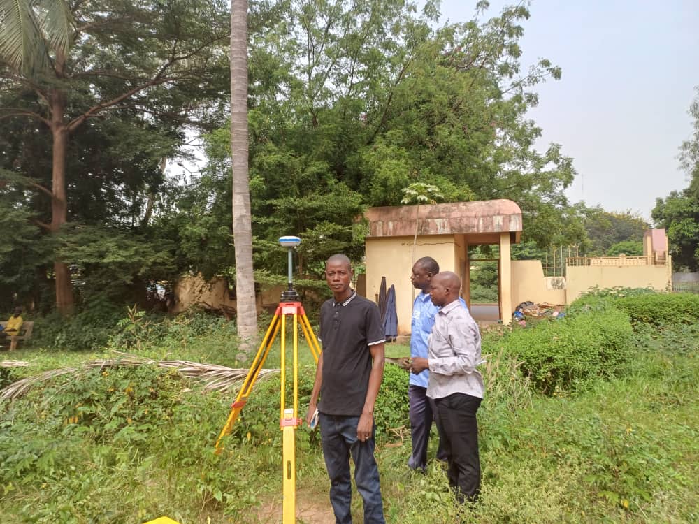
Stonex S800 DGPS
GPSmap 62s handheld GPS
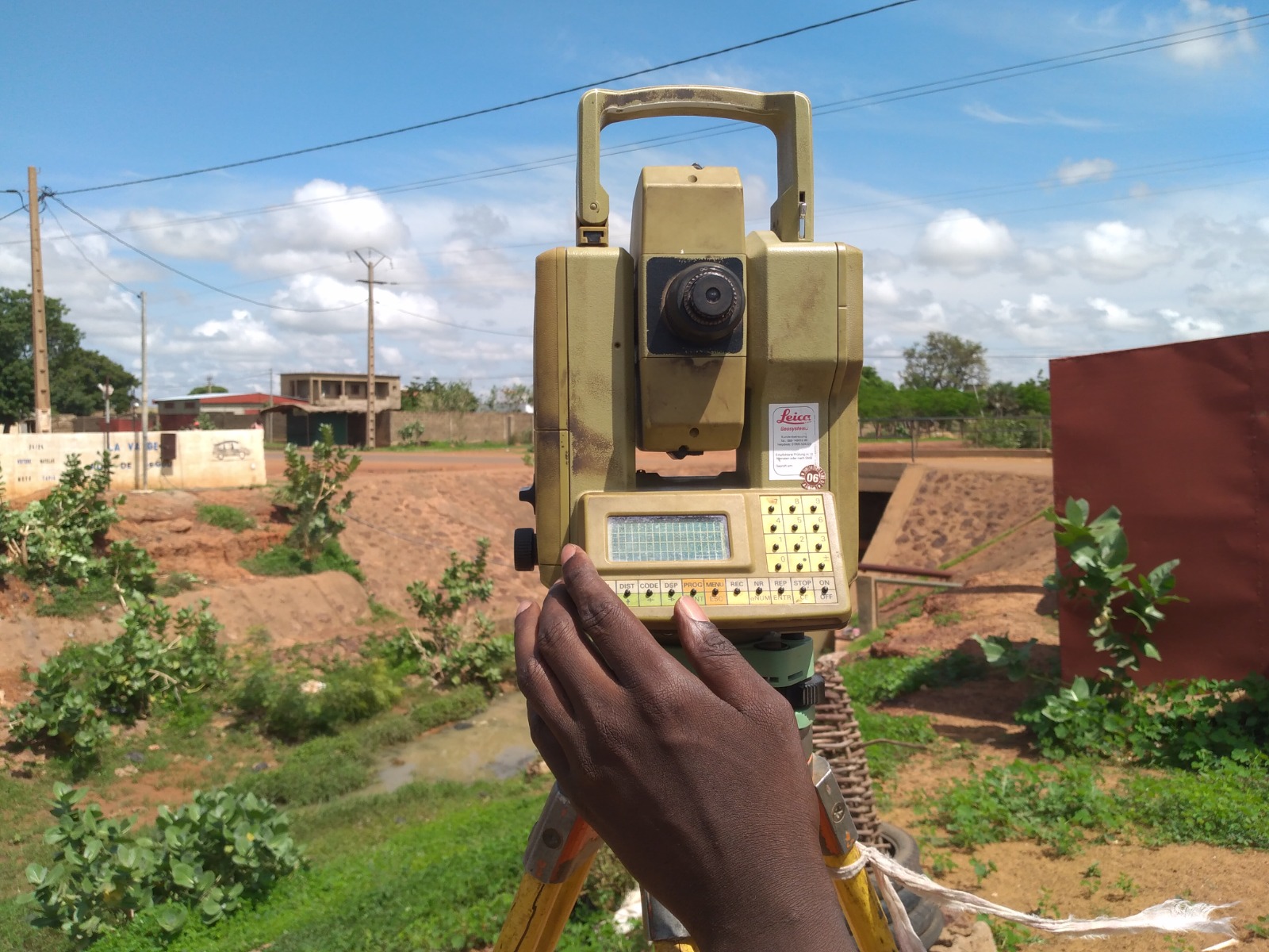
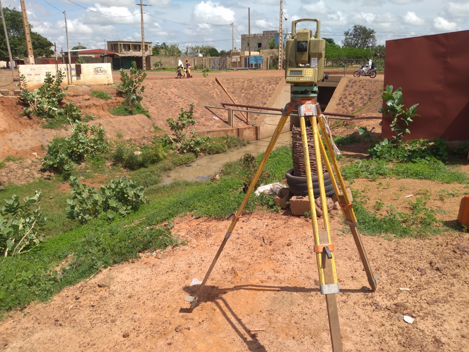
Leica total station
Laser scanner
Levels and field accessories
Airborne acquisition
Drone for photogrammetric surveys
Photogrammetric processing
Production of digital models
Bathymetric acquisition
Echo sounder
Hydrographic surveys
River cross-sections
Processing and output
AutoCAD Covadis
ArcGIS
QGIS
Google Earth Pro
Geospatial processing and remote sensing
Equipment in use
In the field.
Visée sur cibles pour le suivi des déformations.
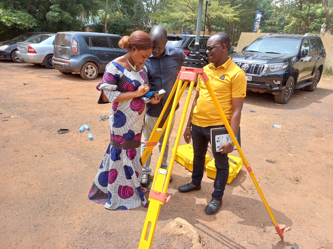
Démonstration pratique : mise en station du DGPS.
Installation du matériel de mesure sur le terrain.
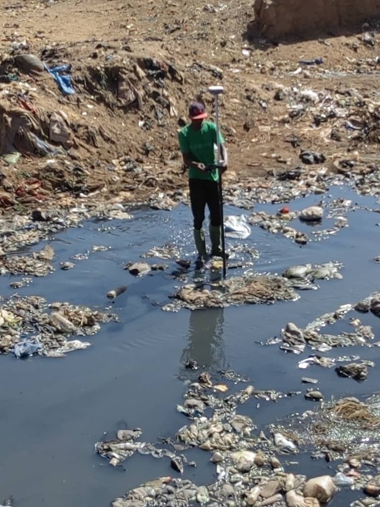
Levé de points pour l’établissement des profils en travers.
Mise en station pour le contrôle géométrique de l’ouvrage.